

An Invisible Water Crisis? New Data Application Maps Hotspots of Global Water Quality and Their Evolution between 1992-2010
December 23, 2021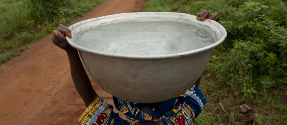 People carrying clean water in Woukpokpoe village. Photo credit: Arne Hoel/World Bank
ESHA ZAVERI, JASON RUSS, SÉBASTIEN DESBUREAUX, VARNITHA KURLI, FRÉDERIC MORTIER
Deteriorating water quality has emerged as a threat to global health, sustainability, and economic development. In 2015 alone, an estimated 1.8 million deaths were attributable to water pollution—which is more people than were killed in all combined wars and other forms of violence in that year—with highest rates of death in sub-Saharan Africa, South and Southeast Asia. And these numbers underestimate the true impact as they do not include deaths from chemical pollutants which often take years to manifest themselves, as well as illnesses that don’t lead to deaths, but result in missed days at work or school, lower household income, and a general lower quality of life.
It is for this reason that while much of the global attention around water resources focuses on water quantity largely, given intensifying levels of scarcity, droughts, and associated famines, the quality of water remains just as important and poses a growing challenge as countries industrialize, urbanize, and populations grow. Although not fully quantified, the impact of poor water quality on human development and the environment is likely to be very large. Given the importance of the issue, Sustainable Development Goal (SDG) 6 aims to ensure safely managed water and sanitation services, improve ambient water quality, and protect water-related ecosystems.
But what is the global state of water quality? Surprisingly, there is limited scientific consensus on this simple yet crucial policy question. We know that reliable, accurate, and comprehensive information is crucial for companies, investors and policymakers to make well informed decisions. However, global water quality monitoring is both severely lacking and extremely complex given the multitude of parameters in play. Indeed, every year, the U.S. Environmental Protection Agency reports that in the U.S. alone, an additional 1,000 new pollutants are entering our environment.
To address this issue, the Quality Unknown report assembled the world’s largest database on water quality gathered from monitoring stations, remote sensing technology, and machine learning. Moreover, this global water quality dataset focused on key representative parameters for water quality aligned with the UN’s Sustainable Development Goals (SDGs).
SDG 6.3.2 identifies 3 major categories of water quality parameters that pose global water quality risks: nutrients like nitrogen and phosphorous; measures of salinity like electrical conductivity; and widely used umbrella proxies for water quality like biological oxygen demand, and dissolved oxygen.
Even though water quality data are sparse in most regions of the world, data on most of the drivers of water quality are available at the global scale and over time. The Quality Unknown report utilized this data on the drivers of water quality in order to train machine-learning algorithms to predict the SDG water quality parameters at a 50-kilometer spatial scale across the world. This allows researchers and policymakers alike to get a better global picture of the status of water quality for the first time. Similar machine learning and artificial intelligence applications have recently been booming, including population and poverty mapping at precise scales. This report demonstrates that such tools can also be harnessed for water quality. The data-driven model built here can also serve as a starting point for future work that can further strengthen the predictions with more precise drivers and richer water quality training data. The full list of covariates included in the model and additional methodological points are presented in the Appendix to Quality Unknown.
The World Bank Water Data Portal, launched in 2020, provides access to these datasets along with a new interactive application which enables data visualizations amongst other functions. Users can now generate maps or download data for analysis on water quality at the global, regional, country, or local levels. We are excited to make this data available to researchers and practitioners to help them move the needle on tackling the water quality crisis and help the World Bank’s Water Practice achieve its goal of creating A Water-Secure World for All.
Link to original blog: